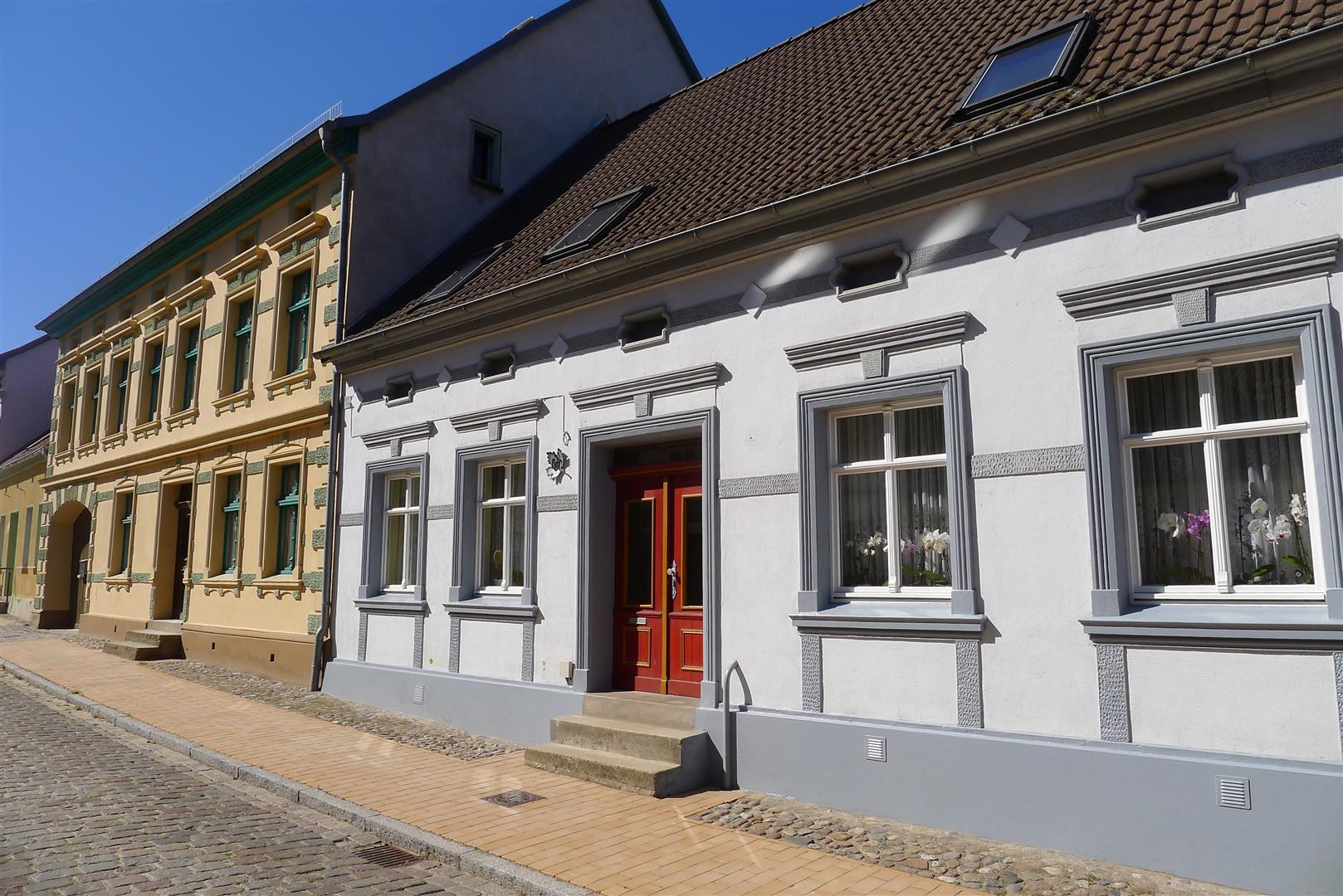
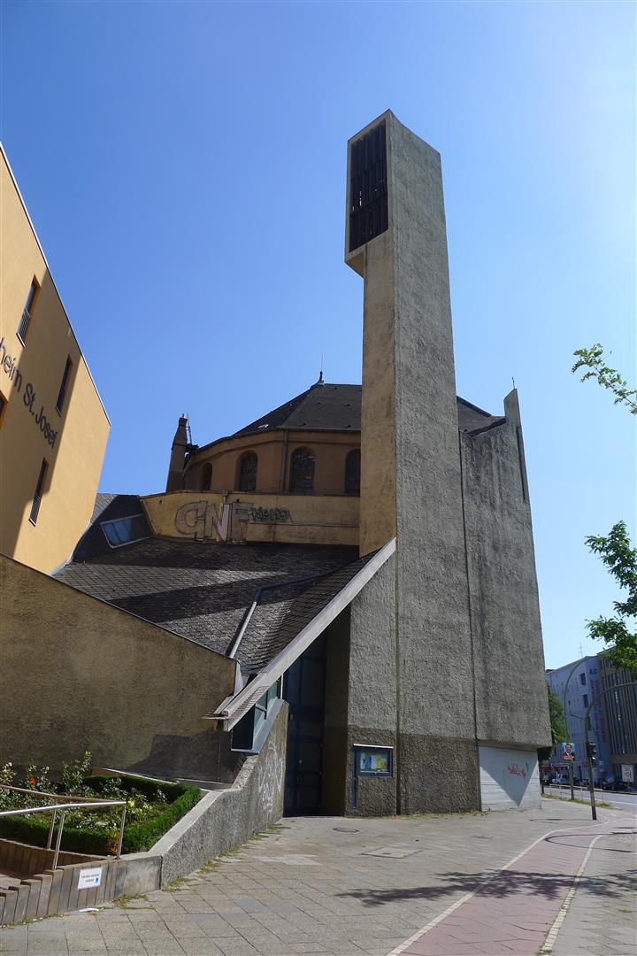
When I first visited Berlin in 1998, the differences between what had been East and West Berlin were fading, but still visible. These days, one has to consult a guidebook to find the former borders of the divided city. As I travel about Berlin, I sometimes find myself wondering whether a particular area was controlled by the Soviet Union or the West during the Cold War.
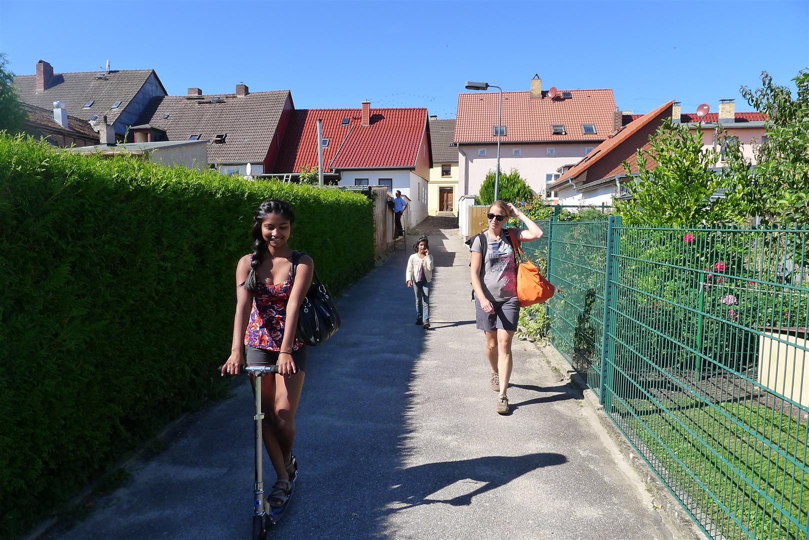
Our first weekend here, Annette declared that we were going to the Wannsee. This didn’t mean much to me, but I know from experience to trust that tone of hers. To get to the lake, Annette and I biked through the Grunewald, a huge park near our apartment. Our daughters went by car with Annette’s sister and her family.
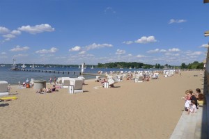
The Strandbad — bathing beach
Heading out to the water slide
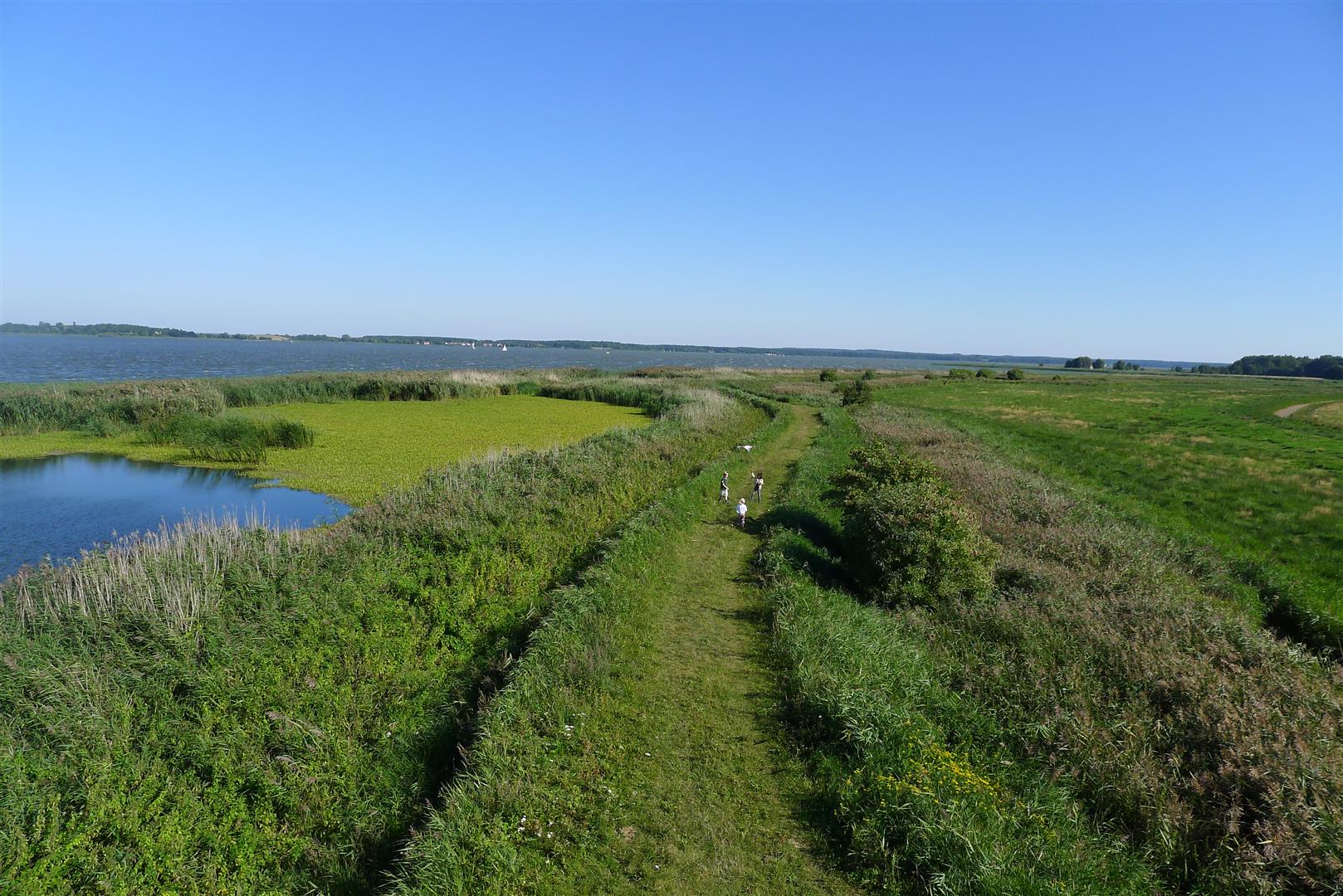
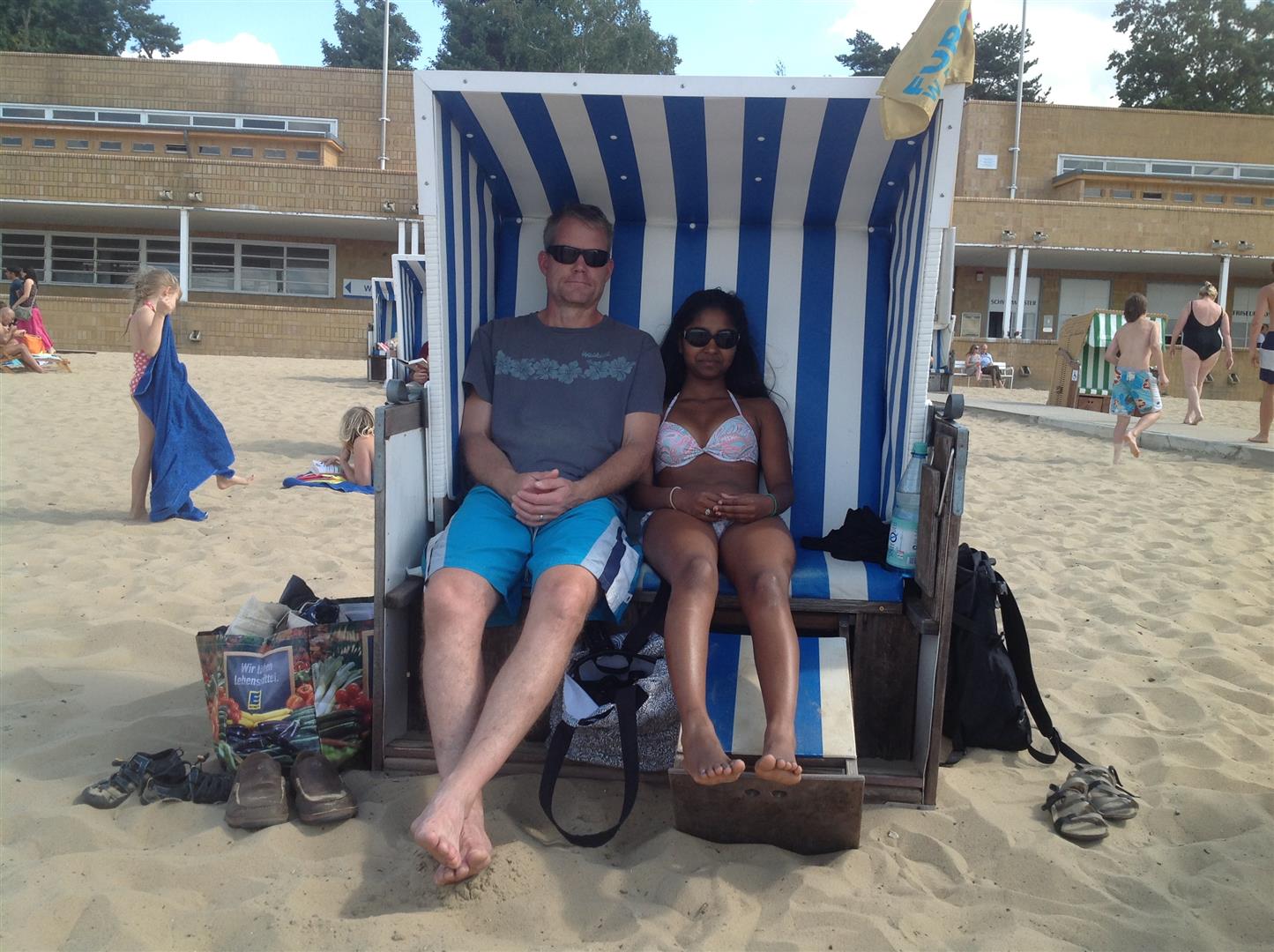
The Wannsee Strandband is apparently one of the longest inland beaches in Europe. It is also a popular spot for nude sunbathing (“FKK,” or “Frei Korper Kultur”), but that end of the beach was discretely screened off from our area. I have spent enough time in northern Germany that the Strandkorb, those overgrown baskets that provide
shelter from sun and wind, no longer look comical to me. In fact, although (or perhaps because) I am not a huge fan of beach-going, I have become a fan of the Strandkorbs.
I asked my brother-in-law Stefan if he knew whether the Wannsee had been in West Berlin or under Soviet control.
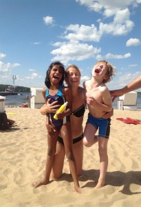
Enjoying the sun (1)
“Most of the lake was in West Berlin,” he told me, “but the border actually ran through the western end of the lake. In fact, during the Cold War, the Soviet Union and Western governments exchanged spies on the Glienicke Bridge, because that was a place where they could easily have direct contact.”
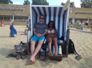
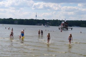
Enjoying the sun (2)